Can anyone paddle down Onondaga Creek? Yes!
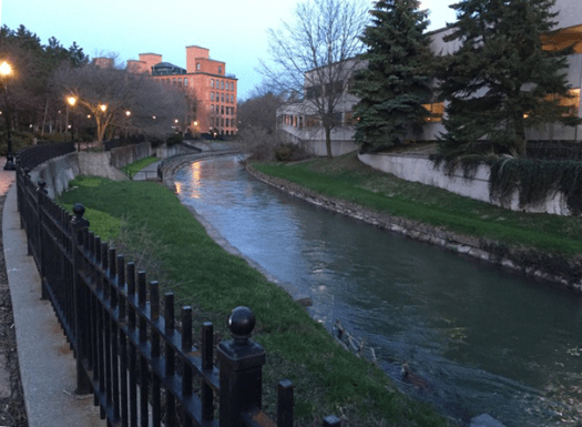
Onondaga Creek is open to safe recreational boating right in the city of Syracuse, NY. The creek begins 26 miles to Syracuse’s south in Tully and runs northward through the Onondaga Nation, Syracuse’s Valley and Southside neighborhoods, downtown’s Armory and Franklin Square districts, and finally passes below the old bridge that once carried the Erie Canal before ultimately ending at Onondaga Lake.
On this page:
Boating: Canoe/Kayaking in Syracuse

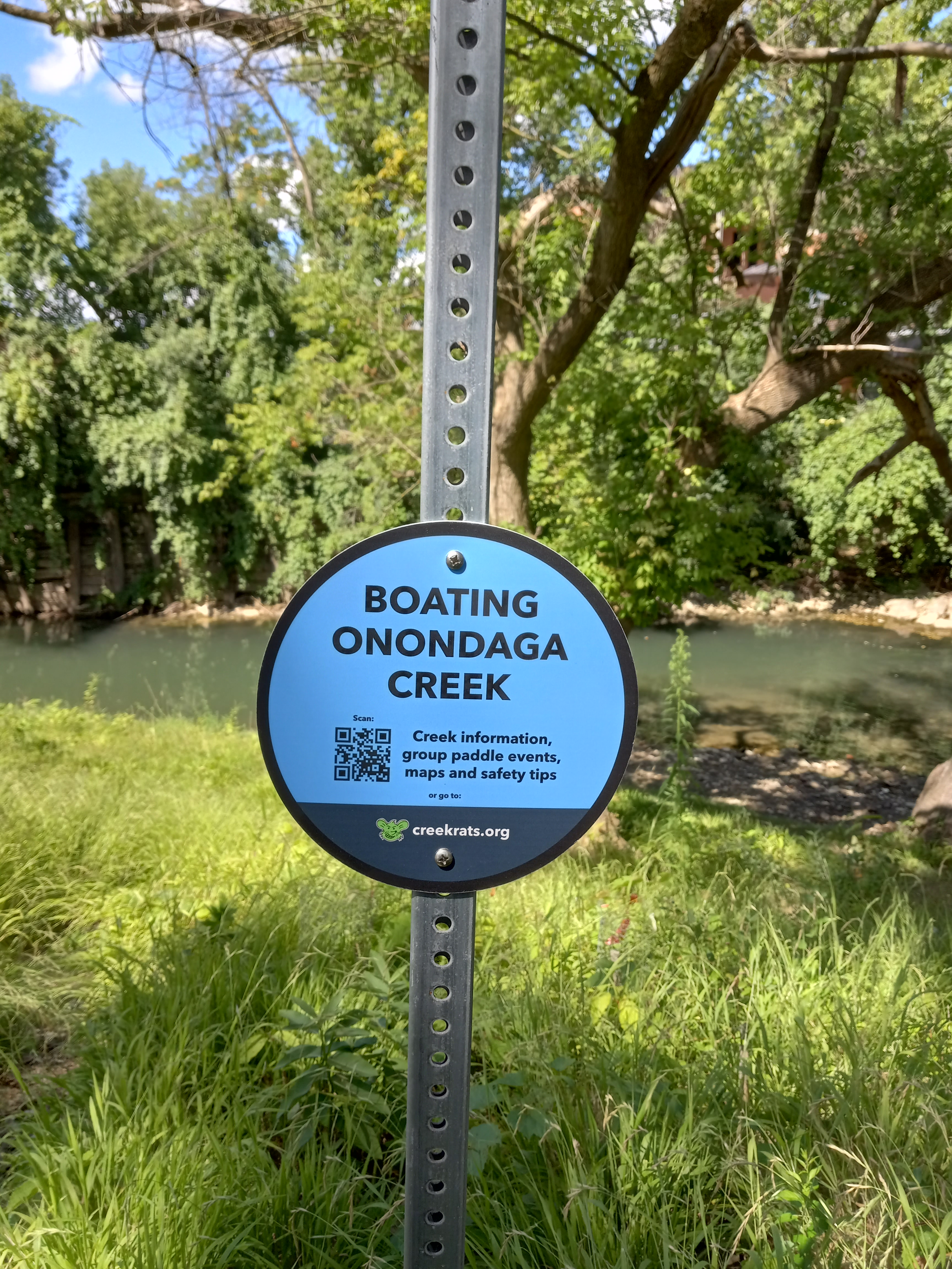
⚠ Boat safety for Onondaga Creek has important information to help plan a safe outing on Onondaga Creek.
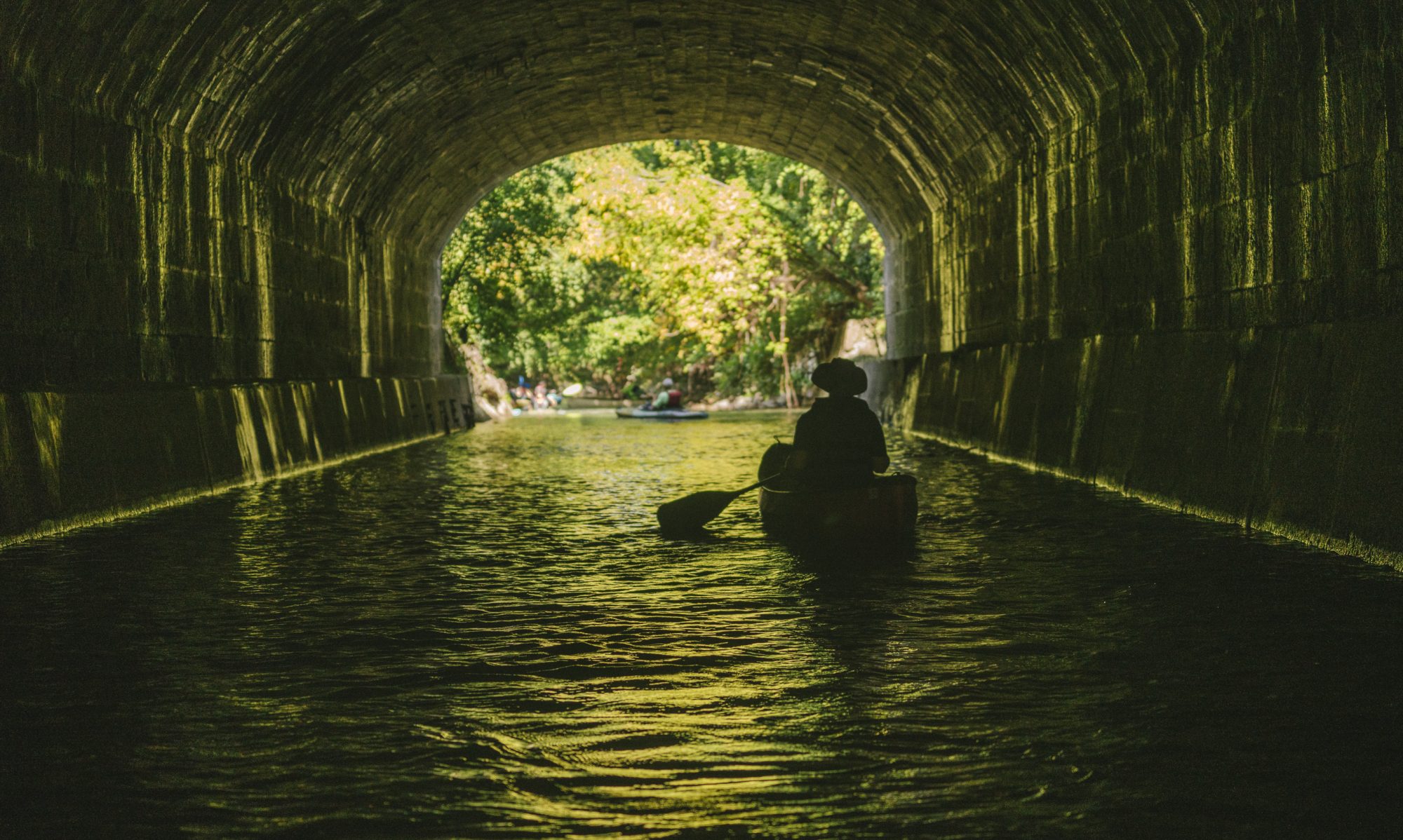
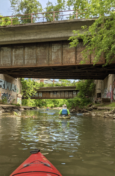
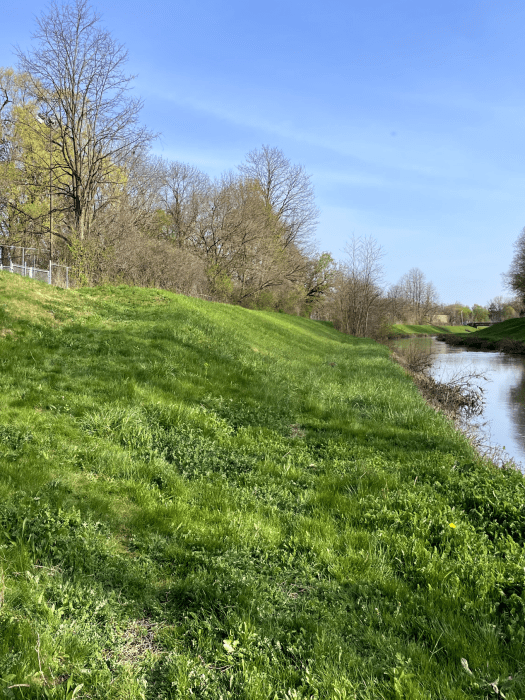
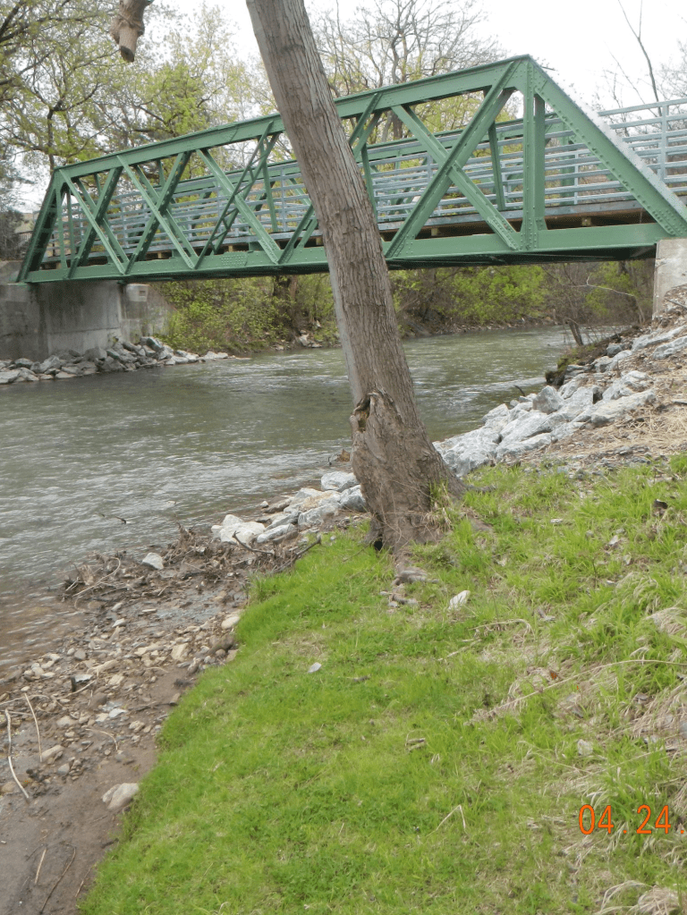
Paddling on Onondaga Creek combines a chance to enjoy local wildlife in a natural setting with historic tunnels and a unique view of downtown. The most common trips begin at Dorwin Ave, and go through downtown to end at Ollie’s Point in Franklin Square, passing underneath 34 different bridges along the way. At Ollie’s Point you’ll find a well-worn pathway between the Creekwalk and a flat section of shoreline where the creek is naturally shallow. This take-out spot provides both an easy exit from your canoe or kayak back to land, and easy access for vehicles to pick up boats.
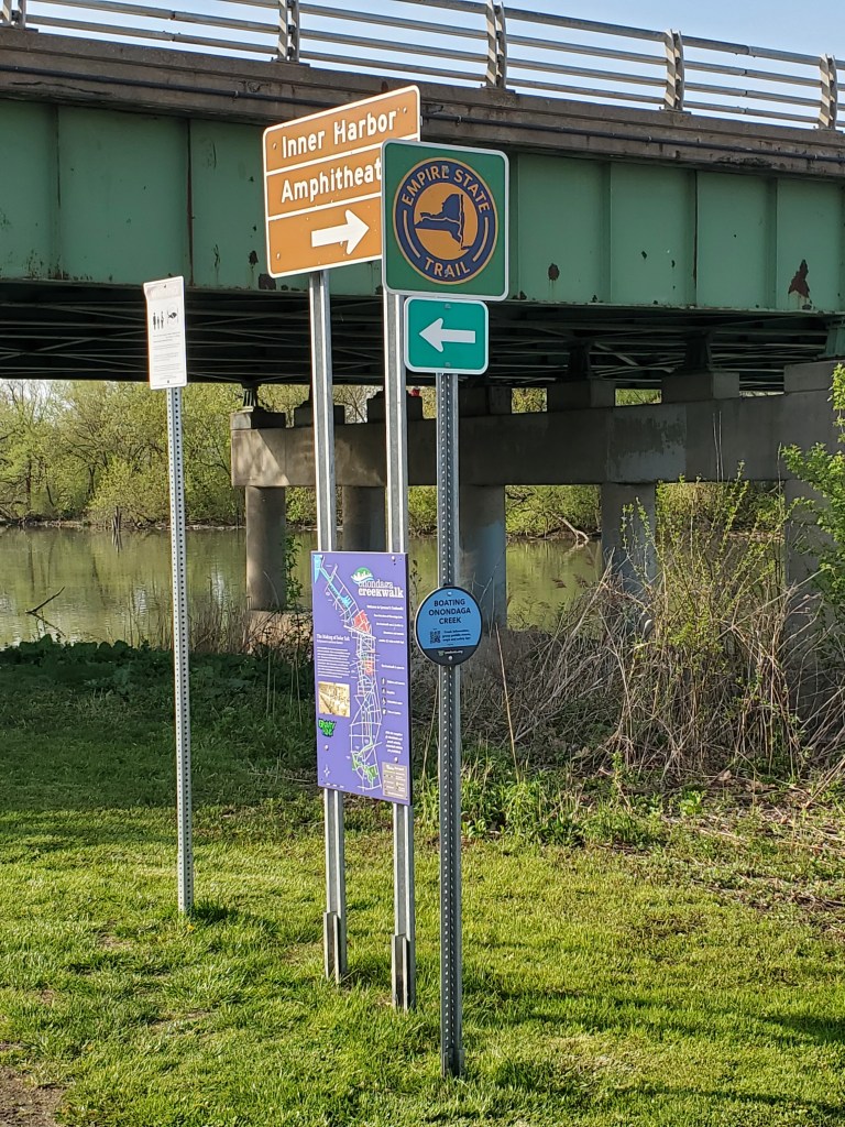
For a longer trip, continue past Ollie’s Point all the way to the Inner Harbor at Bear Street. As of 2023, the City of Syracuse now maintains a public launch / take-out access point at the Bear Street Bridge, with free parking at the intersection of Bear and Van Rensselaer Streets.
Please note: Approximately 350 feet beyond Ollie’s Point there is a concrete weir in the creek. Depending on the seasonal water depth, you’ll either need to hop out of your boat and portage around it, or ride over the drop, if you continue past the Ollie’s Point take-out.

Monitoring Creek Flow
The water depth and speed of Onondaga Creek can change suddenly and dramatically. Avoid boating Onondaga Creek when water is above the channel liner, within 24 hours of heavy rain, or if you think the water is moving too fast. The following resources are helpful for monitoring creek flow, especially around times of significant rainfall:
Dorwin Avenue Data
Spencer Street Data
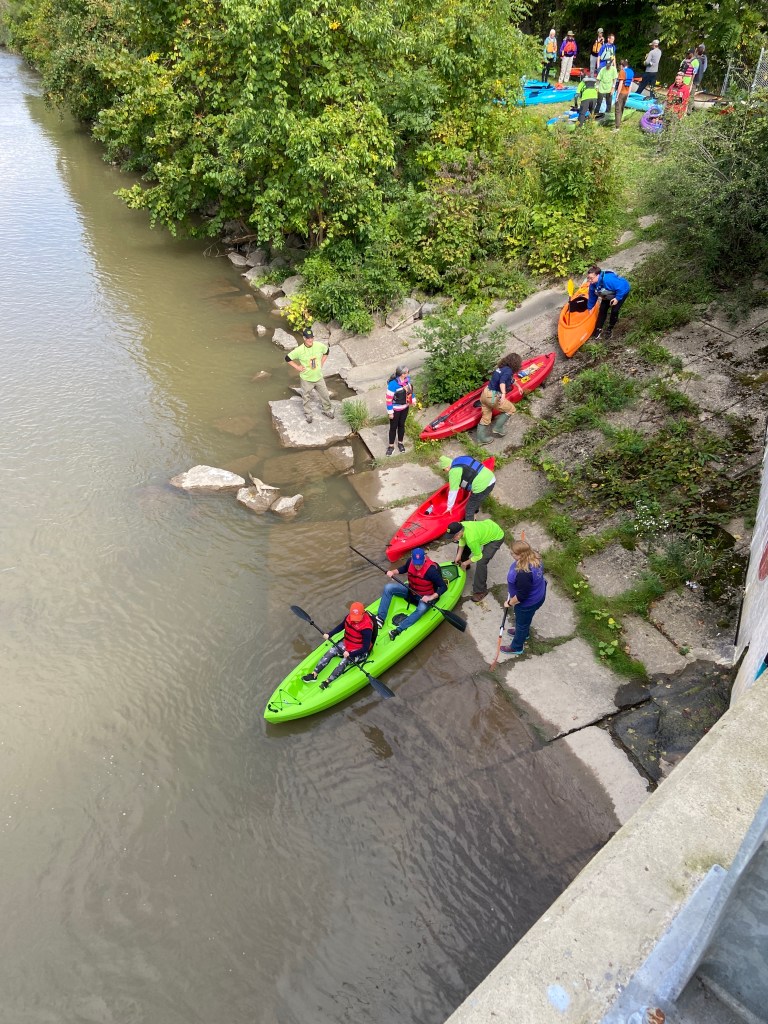
Where is there public access to kayak (or canoe) on Onondaga Creek?
We have found reliable access at the following five points along the creek, though it is important to confirm your take-out point is available before every trip. Because Onondaga Creek is channeled and fenced through the city, it can be difficult to safely enter or exit the water between Ballantyne Ave and West Genesee Street. If you aren’t sure of your ability to safely and comfortably boat from Ballantyne to West Genesee (approx. 5 miles/90 minutes) skip the trip.
Please note: Some access points below are officially maintained by the City of Syracuse and include free, designated public parking and boat launch / take-out infrastructure. Others are simply well-worn, community-favored spots that have historically been open for creek access. Official city launch sites are specifically noted.
In all cases, please use caution and good personal judgment, especially as unofficial spots may lack safety features and change based on season and weather conditions.
Download a canoe / kayak map of Onondaga Creek [GeoPDF, 5.5MB]
More information on using Georeferenced PDFs (GeoPDFs) can be found on the DEC’s website.
Dorwin Ave
Access to the creek can be found under the north / east side of the Dorwin Ave bridge using a fence gate that’s typically open. Be careful, as the limestone slab pathway that extends into the water can be quite slippery. Street parking is generally available on Brookside Drive.

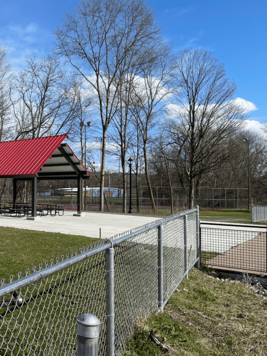
Meachem Field: Seneca Turnpike
Look for the pavilion’s bright red roof and creek overlook deck in the north / west corner of Meachem Fields where you will find two unlocked gates providing access to Onondaga Creek. The gate by the tennis courts provides the more gradual slope down to the shoreline. This site has free public parking.
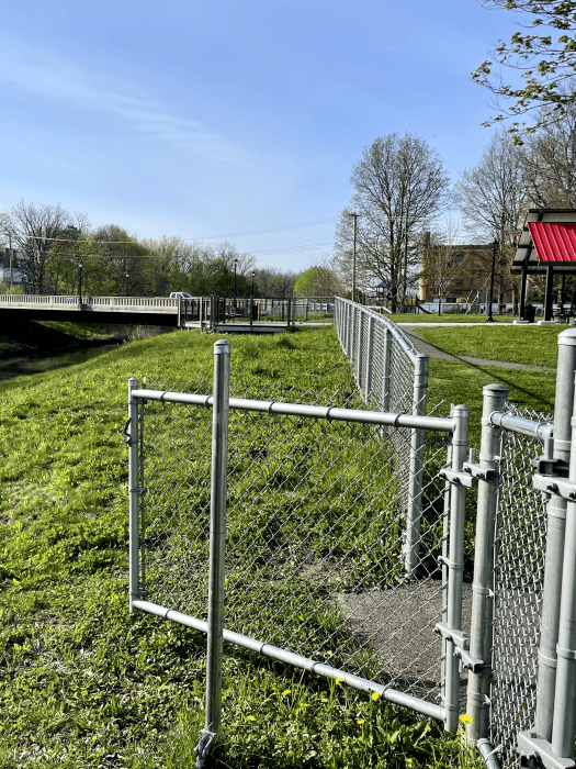
Kirk Park: Onondaga Creek Pkwy & Hunt Ave
City of Syracuse Public Launch Open May 1st – October 31st
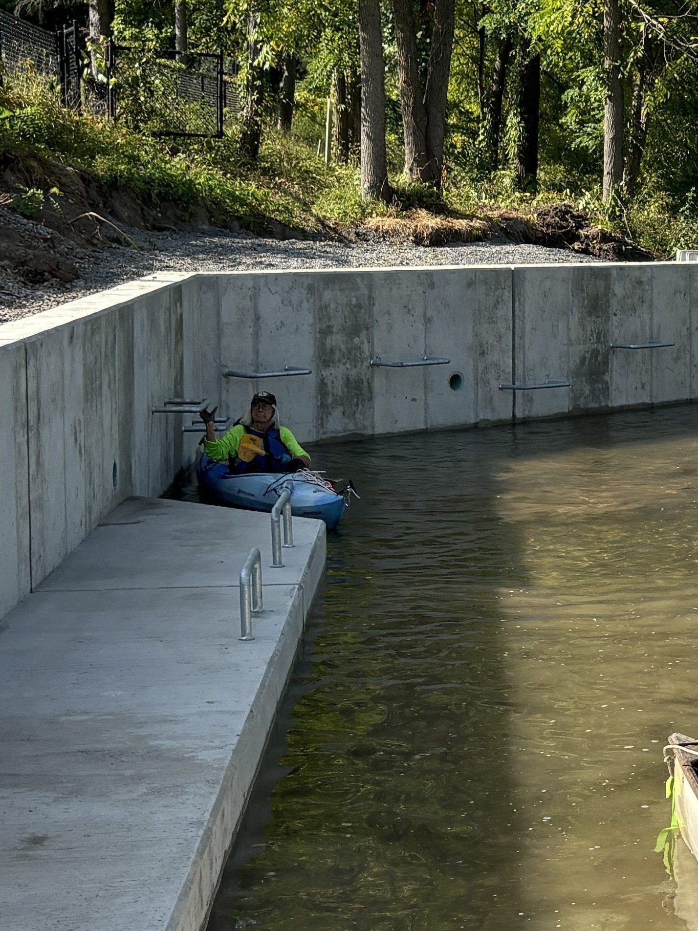
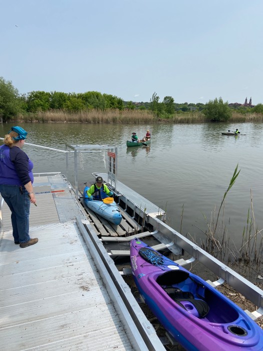
The Kirk Park boat launch, opening October 2024, is accessible from the Creekwalk where Hunt Ave intersects Onondaga Creek Parkway. This site has free public parking and a hardscaped pathway that gradually enters the water. Grab bars are anchored into the concrete for convenience.
Ollie’s Point: Spencer & Maltbie Streets, Franklin Square
Access is just north of the Creekwalk’s pedestrian bridge that crosses the creek near Maltbie St in Franklin Square where you will find a well-traveled pathway through the grass. This is a good spot to take out if you want to avoid the concrete weir at Spencer St. Free public parking is available at the Inner Harbor on Kirkpatrick St.
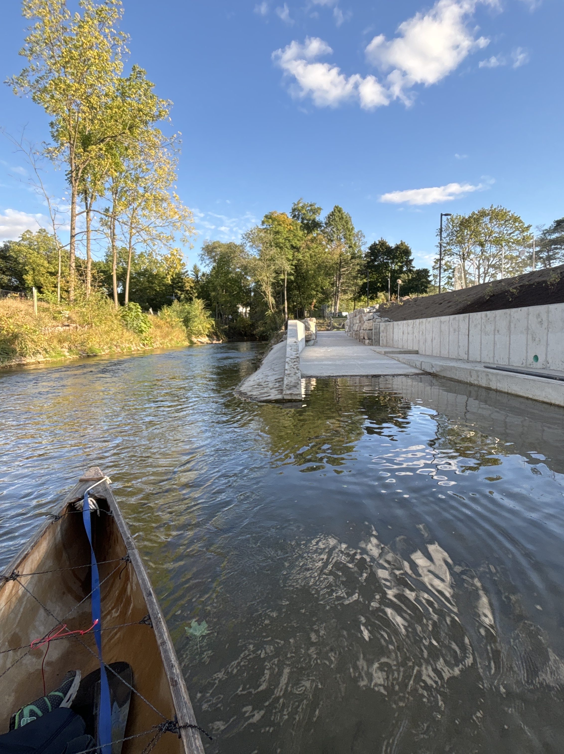
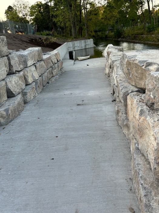
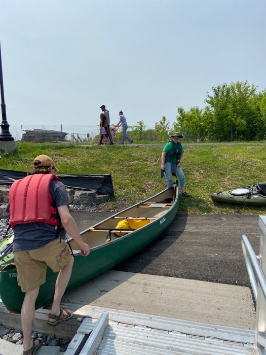
Inner Harbor: Van Rensselaer & Bear Streets
City of Syracuse Public Launch Open May 1st – October 31st
The Inner Harbor Boat Launch is accessible from the Empire State Trail trailhead at Van Rensselaer and Bear Streets. This site has free public parking, accessible launch infrastructure, and a paved path between the parking lot and launch point.
Please note: The launch infrastructure will be removed and winterized on Oct 31st.
Previewing a Creek Trip
Spoiler Alert! If you’d like a sneak-peek of the creek prior to grabbing a paddle and life-jacket (or you’d like to see the creek but are more of a land person), check out our 2018 trip down the creek:
Fishing
A variety of fish can be found in Onondaga Creek, including: sunfish, carp, smallmouth bass, brown trout, and rainbow trout. Fish frequently migrate to the creek from tributary streams as well as from Onondaga Lake, and can often be seen around the Inner Harbor. Fishing in Onondaga Creek is subject to New York State law.
While the waters of Onondaga Creek and Onondaga Lake are cleaner now than they have been in the last 50 years, please consult the NYS Department of Health for detailed information regarding safe fishing and consumption recommendations.
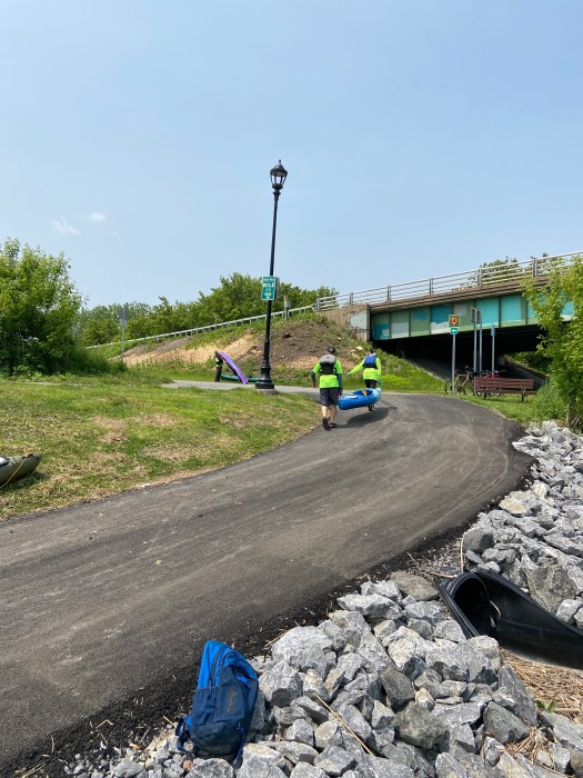
The Creekwalk
The Creekwalk is a 4.8 mile paved trail maintained by the City of Syracuse along Onondaga Creek. It begins in Kirk Park, traveling northward through Armory Square, downtown Syracuse, Franklin Square, and the Inner Harbor. The Creekwalk connects to the regional Empire State Trail at Hiawatha Street and Water Street.
The Creekwalk is paved and generally flat, offering a pleasant stroll through Syracuse with ample opportunities to enjoy views of the creek from one of the trail’s many benches. The Canalway Trail Partnership publishes additional trail maps, resources, and history for points of interest along the trail.

You must be logged in to post a comment.